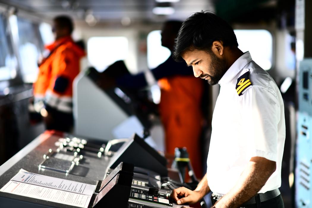
The Port of Rotterdam Authority aims, according to its own statements, to further optimize port calls. The precise positioning of terminals and berths also plays a significant role.
These location data were previously based on the names of terminals and berths. However, in cases of changes in ownership, confusion can occur, since the respective name often also changes.
Precise data
Therefore, the port infrastructures were now assigned unambiguous "Global Location Numbers" (GLNs) in collaboration with the Hydrographic Service of the Royal Netherlands Navy. These have been integrated into the Harbor Master Management Information System (HaMIS) and the Port Community System (PCS) Portbase.
The Harbor Master uses these data daily in its reports. Updates are
performed twice daily, according to the port, during which changes to the data records are transmitted.
Hydrographic Service
To plan their voyages and navigate safely in accordance with IMO Resolution A.893(21), captains of sea-going vessels would require detailed information. These data are available in their ECDIS navigation system (Electronic Chart Display and Information System), which uses official Electronic Navigational Charts (ENCs).
The Hydrographic Service publishes these ENCs and other nautical products. Each country has its own Hydrographic Service. This one is the only one authorized to publish ENCs; the port authorities have no authorization for that.
Central data source
For safe vessel traffic, terminals and berths must be specified precisely in the ENCs. The
hydrographic services are responsible for collecting these data from the ports in their country. Only if these data are precise enough would they be included in ENCs.
It is therefore necessary that the location data be exchanged correctly and in standardized form between the port authorities and hydrographic services. The Port of Rotterdam Authority has now implemented this—according to its own statements, as the world's first port company.
There is now a single platform with validated location data. Because charterers need precise location data to comply with the safe ports and berths clauses. The ships that use these data must correspond to the berth. And collecting location data from various databases is time-consuming.
Via
an application programming interface (API), it is now possible for charterers to connect their systems with Portbase and access the correct data. The updates occur nearly in real time, so ships and berths can be automatically matched. Also nautical service providers such as pilots and tug operators should also be able to benefit from the standardization.
Scalable solution
In addition, the Port of Rotterdam Authority plans to map the water depths and restrictions of terminals and berths in a uniform way.
It calls on other port companies to exchange their location data in the same standardized manner with their national hydrographic services. The solution is easily scalable and usable worldwide, according to the statements.